Today’s journey was a relatively short trip to Kalgoorlie, however in our usual style, we found plenty of detours to make the journey take a little longer.
We headed via another huge rock formation called The Humps and up the 170km road to Marvel Loch. This is basically a small mining town with plenty of old abandoned mines around along with a few decent sized open cut mines that are still active.
After Marvel Loch, we took a track out to the abandoned May Queen Mine and on the track drove through a large spider web, with large spider included. (I moment I wish I had the video running at 60 fps.)
After a fuel stop (for us, not the car) in Southern Cross, we headed along the Great Eastern Highway to Pumping Station number 6. This is the ruins of one of the historic pumping stations that was part of the Goldfields Water Supply Scheme. This scheme delivered water via a huge pipeline to the towns of Coolgardie and Kalgoorlie. It’s still in use today but utilizing modern pumping stations.
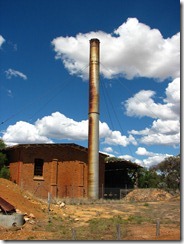
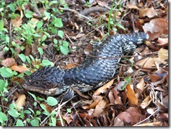
The pumping station and one of the locals.
From the pumping station, we followed the pipeline for about 5km before getting back down to the main road. Next side trip was the Karalee Dam and Rock.
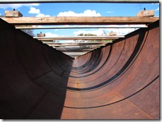
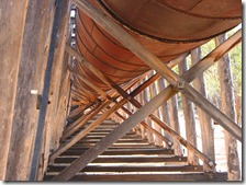
Once again, this rock had been used to collect water and this time a long iron aqueduct had been constructed between the rock and dam.
Following on from this, we detoured beside the pipeline again between Woolgangie and the No.8 pumping station along the Golden Pipeline Trail.
Getting to Coolgardie, we stopped past the old railway station and an abandoned opencut mine.
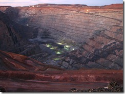
We are now in Kalgoorlie for the next two nights where we’ll be checking out the Boulder Market Day and then doing a tour of the KCGM Superpit gold mine (Largest opencut in Australia). We did stop by the lookout and take few shots just after sunset. Absolutely huge.
